On view August 17 – November 6, 2018
Stashed in the glove compartments of our cars, scrolled through on our phones, hanging on classroom walls, or glowing at metro stations, are maps. They tell us where to go, what to expect, and help us interpret geography. Geography, however, is unruly; time, context, and power shape all maps. Coastlines are altered by rising sea levels, lands are “discovered,” boundaries are disputed and conquered, and cultures are created or erased.
Some maps are political statements, some are fanciful. Sometimes, cartographers suppose that there “ought” to be an island here, or an inlet there, so they just put it in. Some maps are just mistaken, angling a coastline or lake at odds with reality. Maps reveal the attitudes and perspectives of those commissioning them or making them. This exhibit presents a variety of beautiful maps and ways of reading them, combined with objects from the times they were created. Works date from the 16th century to today, with highlights including a collection focusing on Scandinavia, California as an island, and maps of the heavens.
This exhibit is engaging for all age groups. Works from this exhibit were generously loaned by the Dr. Ernst F. Tonsing Collection.
Articles related to this exhibit include:
“Once a necessity, maps now more of a novelty; Collection of rare maps on display in Ventura County,” KCLU, Lance Orozco, Oct. 18, 2018
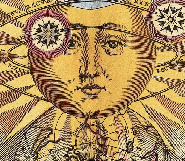
Image: Andreas Cellarius (German, 1596-1665), Scenographia: Systematis Copernicani, from Harmonia Macrocosmica, first published 1660 by Johannes Janssonius, copper plate print, 18.5 x 22.25 inches. Loan courtesy of the Dr. Ernst F. Tonsing Collection.


